A Place for Precision, Reliability, and Trust
About Us
At LuxGeospatial, our shared mission is to contribute to the global shift toward innovative geospatial solutions for a smarter, more sustainable world. Built on precision, we analyze satellite and drone data to offer vital insights for informed global decision-making. Our dedication to transparency and inclusive partnerships, paired with a steadfast pursuit of innovation, defines us as we progress toward a future where geospatial excellence drives worldwide sustainability.
Our Services
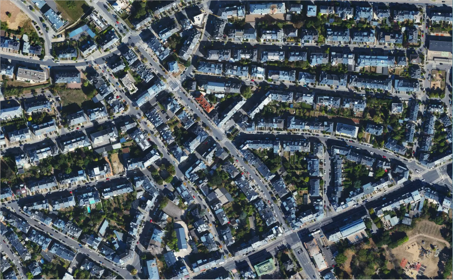
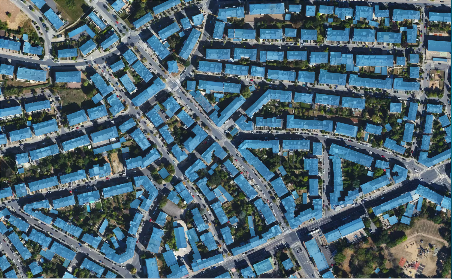
Geographic Information System (GIS) Solutions
We offer a range of Geographic Information System (GIS) services to help our clients analyze, visualize, and understand spatial data.
Utilizing the power of our advanced deep learning algorithms, we are able to efficiently process and analyze vast amounts of data, providing our clients with accurate and actionable insights to inform their decision-making and solve complex problems.
Data gathering
and organizing
Data analysis
and map-making
Deep learning
to analyze spatial data
Digital Modeling
We use drones, laser scanners, and other surveying equipment to create high-precision 3D maps and models of structures and landscapes.
These 3D models can be used for construction planning, asset management, and more, and are ideal for clients in the construction, engineering, and architecture industries, as well as government agencies and other organizations.
Drone surveying
Laser scanning
3D modeling
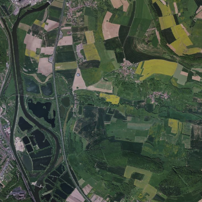
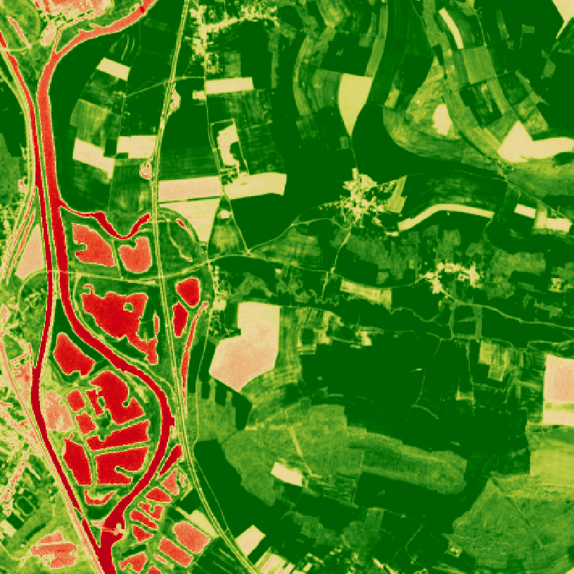
Precision Agriculture
We offer Precision Agriculture services to help farmers maximize their yields and minimize their costs. Our services utilize satellite and drone data to analyze farm conditions and identify areas for improvement.
With the help of our advanced analytics, farmers can make informed decisions about irrigation, fertilization, and other factors that impact crop health and productivity.
Crop health
Soil conditions
Soil moisture
Our Values
Precision
Providing accurate and reliable geospatial data and solutions that our clients can trust
Flexibility
Offering a range of services and custom solutions that can be tailored to meet the specific needs of our clients
Innovation
Using new technologies and approaches to ensure that our services are at the forefront of the industry